Project Description
Description
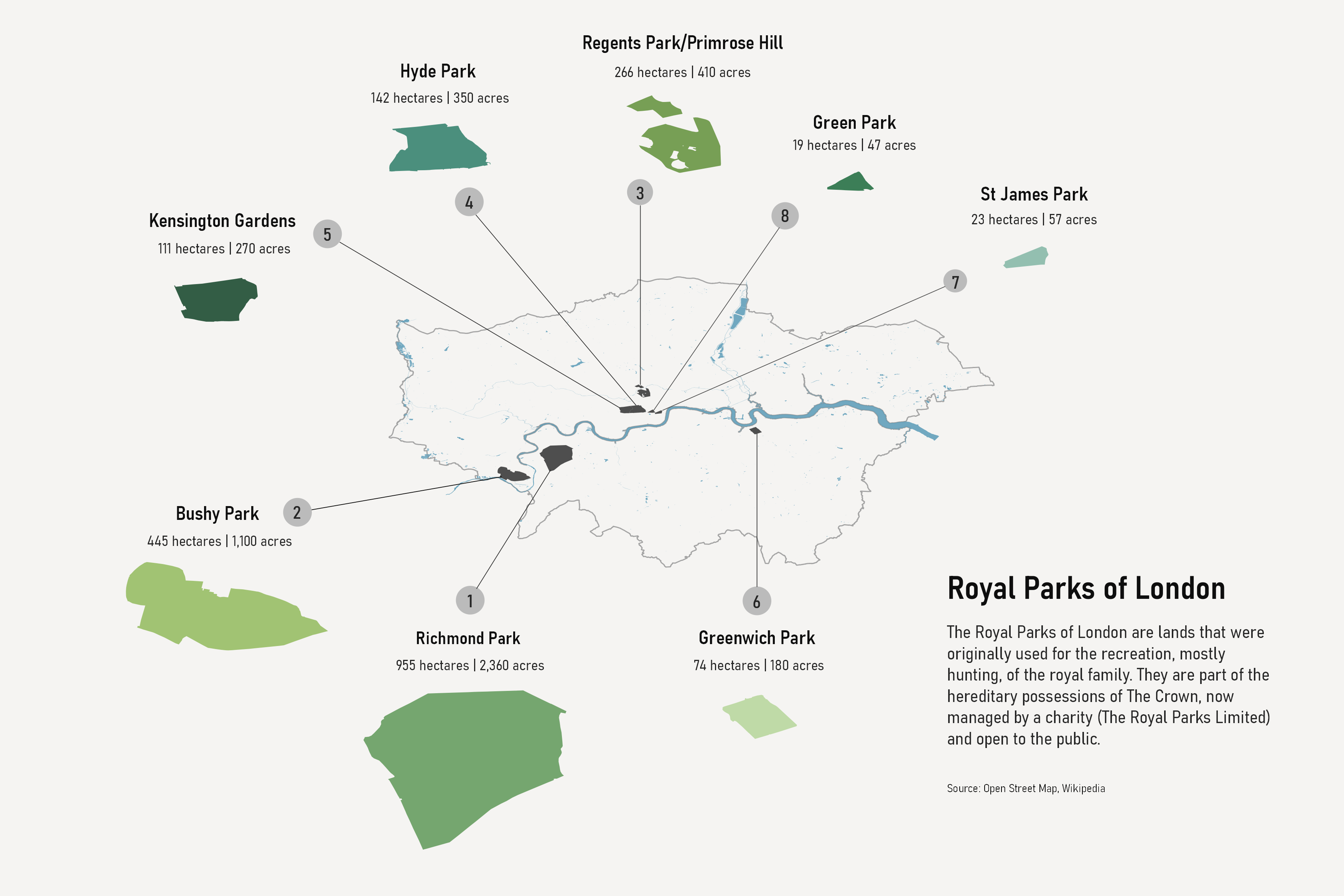
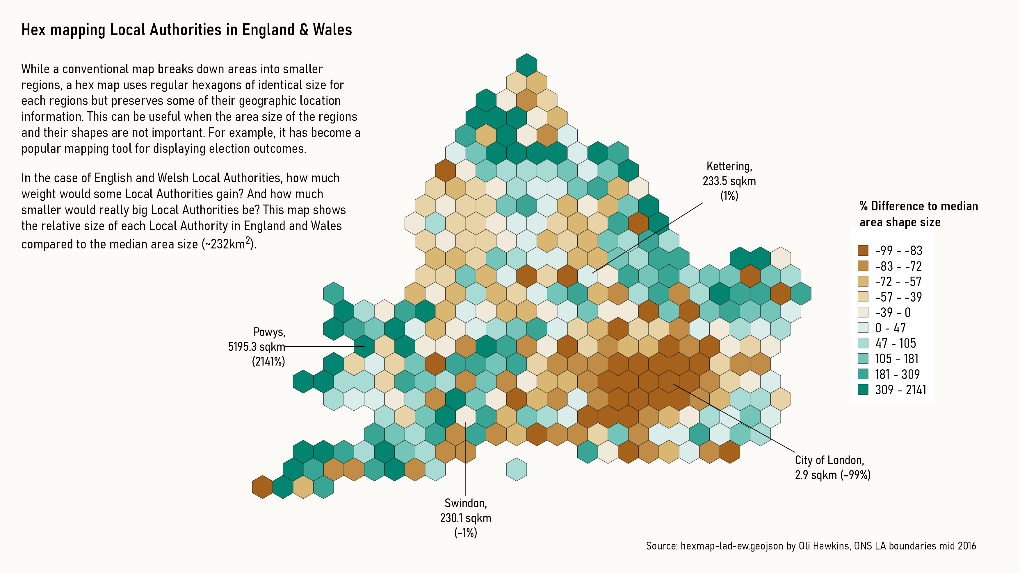
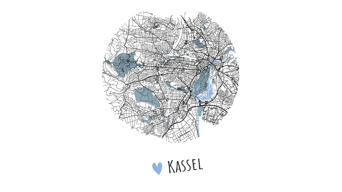
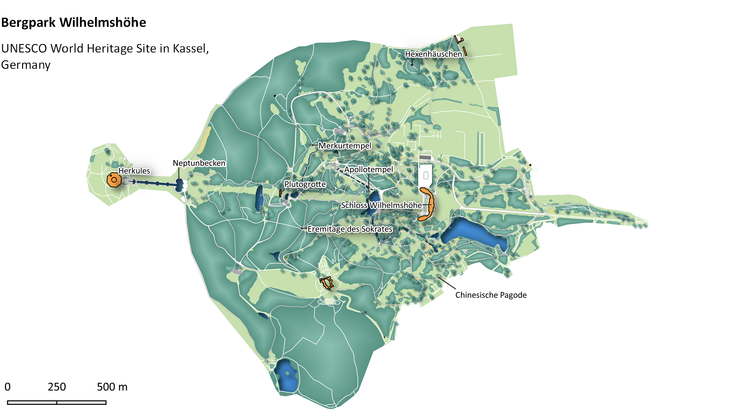
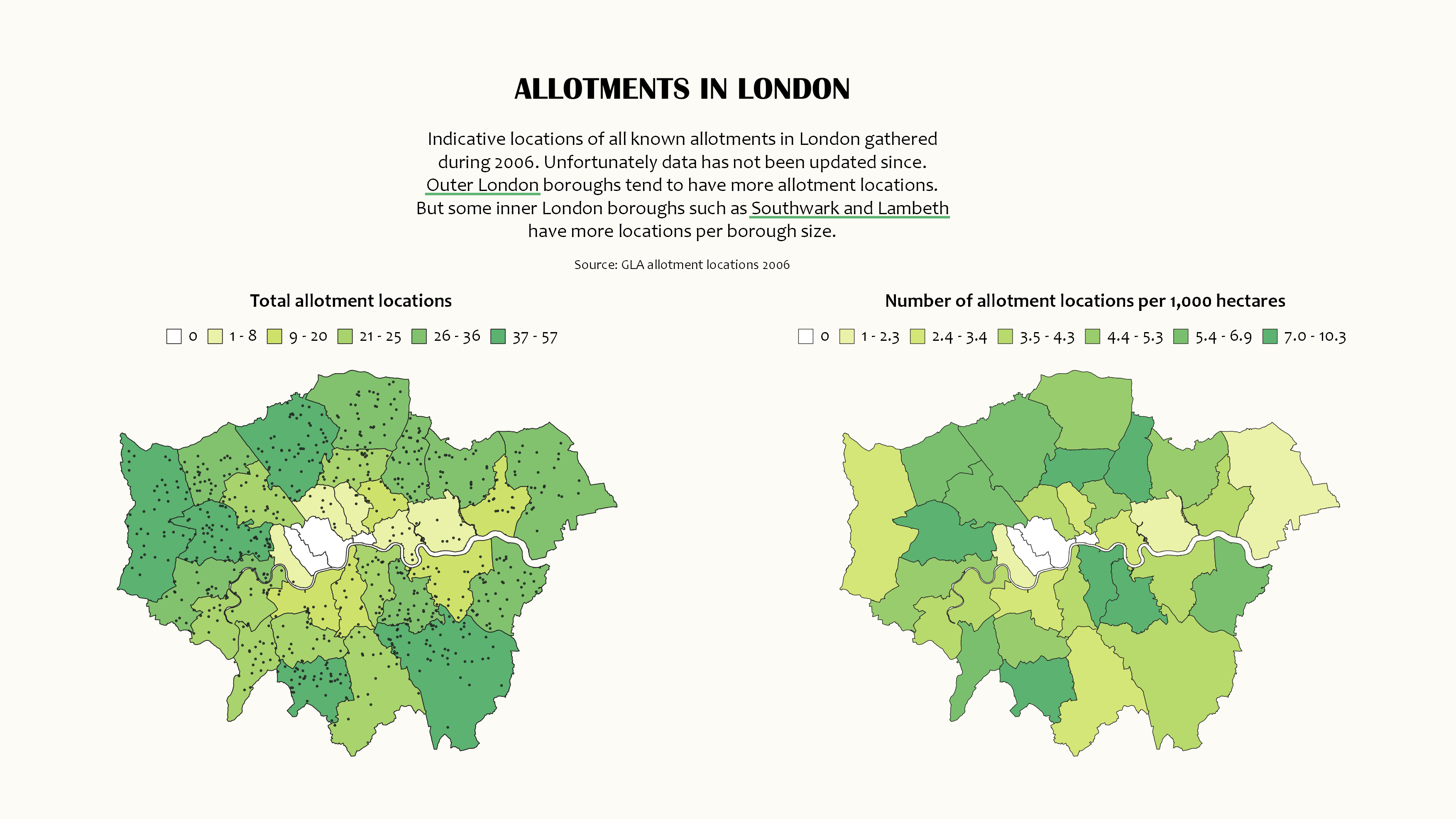
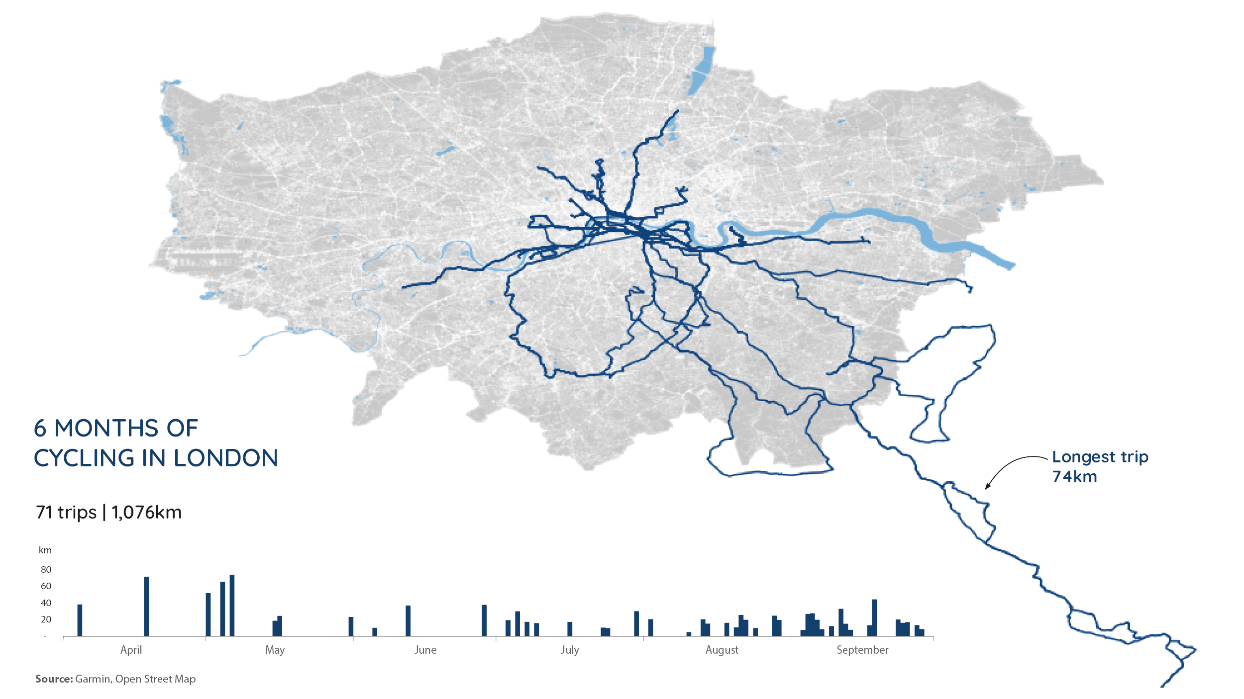
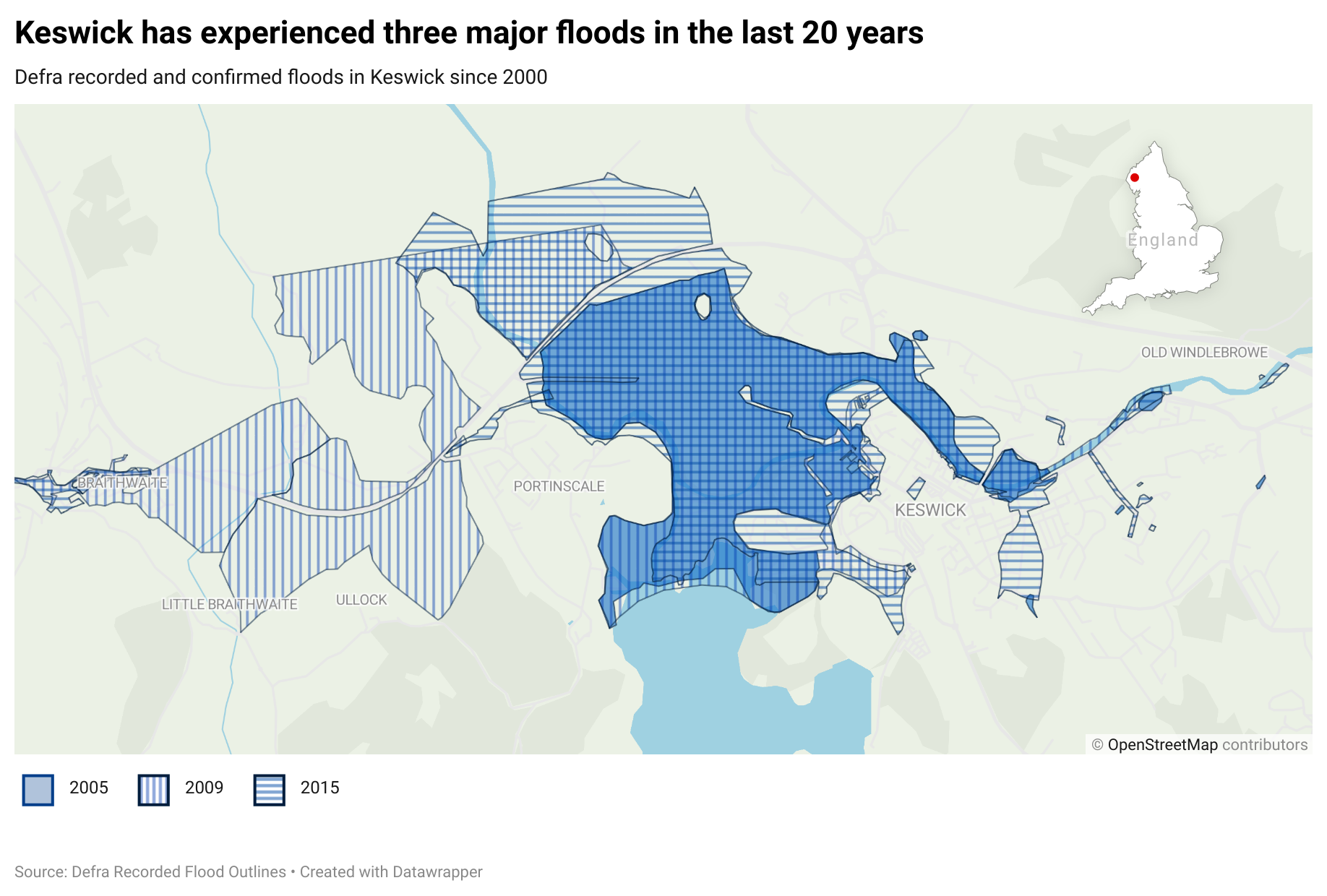
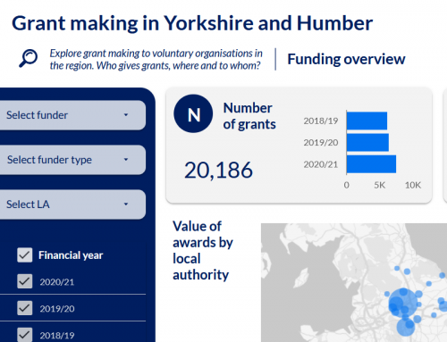
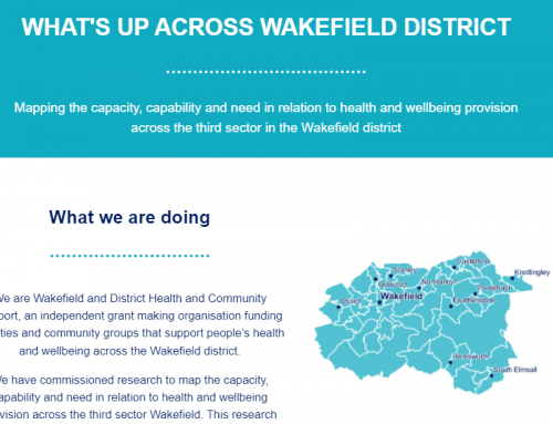
Collection of geospatial maps created during 2021, experimenting with QGIS, Open Street Maps and a range of data sources. Some of them were part of the #30DayMappingChallenge.
Type: Data visualisation, geomapping
Date: November 2021
Copyright: Lisa Hornung
Output: Maps
Topic: Various
Tool(s): QGIS, Datawrapper
Type: Data visualisation, geomapping
Date: November 2021
Copyright: Lisa Hornung
Output: Maps
Topic: Various
Tool(s): QGIS, Datawrapper
Description
Collection of maps created during 2021 using a range of sources, including Open Street Maps. Some of them were part of the #30DayMappingChallenge.
